Gomel Region
Description
Gomel Region is one of the regions of Belarus. Its administrative center is Gomel. The total area of the region is 40,400 square kilometres (15,600 sq mi), the population in 2011 stood at 1,435,000 with the number of inhabitants per km2 at 36.
Important cities within the region include: Gomel, Mazyr, Žlobin, Svietlahorsk, Rečyca, Kalinkavičy, Rahačoŭ, Dobruš.
Both the Gomel Region and the Mogilev Region suffered severely after the Chernobyl nuclear reactor catastrophe. The Gomel Province borders the Chernobyl Exclusion Zone in places, and parts of it is designated as mandatory or voluntary resettlement areas as a result of the radioactive contamination.
Geography
Pripyatsky National Park covers 2% of the territory of the region. Eleven wildlife preserves of national importance cover 2.1% of the region.
The extreme southern point of Belarus is located in Gomel Region, on the Dnieper River to the south of the urban-type settlement of Kamaryn, Brahin District.
3rd the largest lake in Belarus Čyrvonaje Lake is situated in Gomel Region, Žytkavičy District.
Transport
Gomel Region is a major transport hub. Major railway junctions include Gomel, Zhlobin, and Kalinkavichy. Gomel is located at the intersection of the highways 95E Odessa – Kiev – St. Petersburg, Bakhmach – Vilnius, and M10 Bryansk – Brest. River transport is also common in the region with regular navigation on the Pripyat, Dnieper and Berezina Rivers.
Tourism
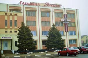
The number of travel agencies in Gomel Region has grown from 21 in 2000 to 54 in 2010. Main tourist destinations of the region are Pripyatsky National Park and Gomel.