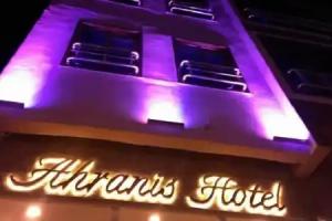
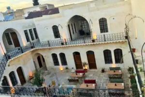
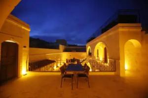
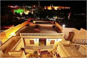
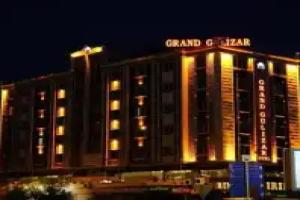
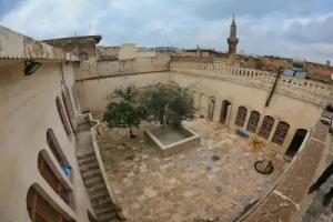
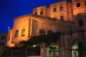
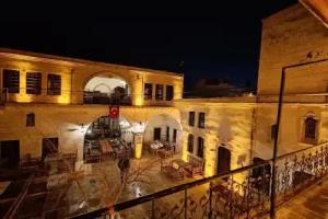
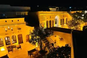
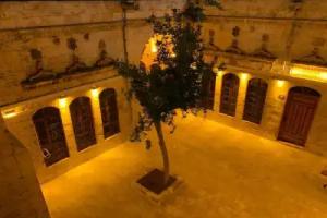
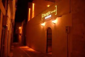
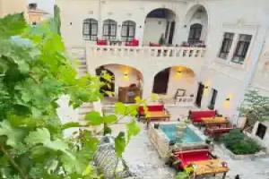
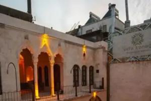
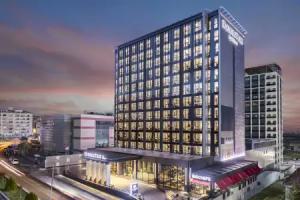
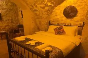
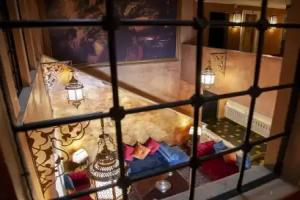
Sanliurfa

Description

This article needs to be updated. Please update this article to reflect recent events or newly available information. (January 2015)

Şanlıurfa Province (Turkish: Şanlıurfa ili) or simply Urfa Province is a province in southeastern Turkey. The city of Şanlıurfa is the capital of the province which bears its name. The population is 1,845,667 (2014).

The province is famous for its Abrahamic sites such as Balıklıgöl, where Prophet Abraham was cast by Nimrod into fire that is believed to have turned to water, and Mevlid-i Halil Mosque where Abraham was born in the cave next to the mosque. Also lying within the district, approximately 12 km (7 mi) northeast of the city of Şanlıurfa, is the pre-historic site of Göbekli Tepe, where continuing excavations have unearthed 12,000-year-old sanctuaries dating from the early Neolithic period, considered to be the oldest temples in the world, predating Stonehenge by 6,000 years.

Population in 1990 was 1,001,455; 551,124 in the district centers, 450,331 in rural villages. By 2000, the population of Şanlıurfa province had grown to 1,436,956 and that of Şanlıurfa city, 829,000. Its provincial capital is the city of Şanlıurfa, the traffic code is 63.

Geography

Area 18,584 km² (7,173 sq. miles), the largest province of Southeast Anatolia with:

  • Adıyaman to the north;
  • Syria to the south;
  • Mardin and Diyarbakır to the east;
  • Gaziantep to the west;

Şanlıurfa includes several major components of the Southeastern Anatolia Project (in Turkish Güneydogu Anadolu Projesi (GAP)) designed to:

  • exploit the hydropower potential of the Tigris and Euphrates Rivers;
  • dramatically expand irrigation for agriculture; and
  • develop the economy of the region.

This very large-scale, state-sponsored development project involved the damming, redirecting, hydroelectric tapping and other utilization of rivers in this broad, semi-arid region. (The rivers then flow into Syria and Iraq). The GAP project includes 22 dams, hundreds of miles of irrigation works.

Even before GAP, Şanlıurfa Province had the largest share of cultivated and cultivable land in the GAP region, due to its flatness and highly fertile, agricultural land. The Şanlıurfa and Harran Plains extend over an area of about 1,500 km² (579 sq. miles). Irrigating these plains is one of the most important components of GAP.

According to the 1990 census, Şanlıurfa Province contained 148,521 households, and the average household size was 6.74 persons. 71% of household heads described their occupation as farming. In 1992, Şanlıurfa had the highest concentration of land ownership in Turkey, with a landless rate of 48%. While 5% of the families in the province owned 65% of the land, the vast majority (70%) owned only 10%.

Şanlıurfa’s average annual growth rate between 1985 and 1990 was 4.6%, considerably higher than both the national and regional averages.

History

See Şanlıurfa and Edessa, Mesopotamia.

Places of interest

The following tombs and sacred spots are located within the province:

  • Prophet Ibrahim (Abraham)'s birthplace
  • Prophet Ayyub (Job)'s cave and tomb
  • Prophet Alyasa (Elisha)'s Tomb
  • Imam Bakir's Tomb
  • Shaykh Hayat al-Harrani's Tomb
  • The first burial place of Said Nursi
  • Rahma Hatun's Tomb
  • Neolithic Temple at Göbekli Tepe
  • Neolithic Settlement at Nevali Çori

Street view

Hotels

2 guests
Adults2+
Children under 170+
Age7+
Age7+
Age7+
Age7+
Age7+
Age7+
Age7+
Age7+
Age7+
Age7+
Search hotel

Reviews

Share your experiences, help others make the right choice!
Think about what you would like to know if you were looking for a review about a place to relax. Please describe in detail what you liked and what you didn't. What would you advise to other guests and to the hotel owner. The more fully you tell about the hotel, the easier it will be for other people to make a choice and they will be very grateful to you!

Map

X