Kabardino-Balkaria
Description
The Kabardino-Balkar Republic , or Kabardino-Balkaria (Russian: Кабарди́но-Балка́рия, Kabardino-Balkariya), is a federal subject of Russia (a republic) located in the North Caucasus. As of the 2010 Census, its population was 859,939.
Geography
The republic is situated in the North Caucasus mountains, with plains in the northern part.
- Area: 12,500 square km
- Borders:
- internal: Stavropol Krai (N/NE), Republic of North Ossetia–Alania (E/SE/S), Karachay–Cherkess Republic (W/NW)
- international: Georgia (S/SW)
- Highest point: Mount Elbrus (5,642 m)
- Maximum N->S distance: 167 km
- Maximum E->W distance: 123 km
Kabardino-Balkaria is traversed by the northeasterly line of equal latitude and longitude.
Rivers
Major rivers include:
- Terek River (623 km)
- Malka River (216 km)
- Baksan River (173 km)
- Urukh River (104 km)
- Chegem River (102 km)
- Cherek River (76 km)
- Argudan River
- Kurkuzhin River
- Lesken River
Lakes
There are about a hundred lakes in the republic, none of which are large. Just over half (fifty-five) are located between the Baksan and Malka Rivers, the largest each of an area of no more than 0.01 square km. Some of the lakes are:
- Tserikkel Lake (area 26,000 m²; depth 368 m)
- Lower Goluboye Lake
- Kel-Ketchen Lake (depth 177 m)
- Upper Tserikkel Lake (depth 18 m)
- Sekretnoye Lake
- Tambukan Lake (area 1.77 km²; depth 1.5 to 2 m), partially within Stavropol Krai.
Mountains
- Mount Elbrus (5,642 m), a volcanic mountain and the highest peak in Europe, Russia, and the Caucasus
Other major mountains include:
- Mount Dykhtau (5,402 m)
- Mount Koshtantau (5,151 m)
- Mount Shkhara (5,068 m)
- Pushkin Peak (5,033 m)
- Mount Mizhergi (5,025 m)
Natural resources
Kabardino-Balkaria's natural resources include molybdenum, tungsten, and coal.
History
Towns

All accomodation types
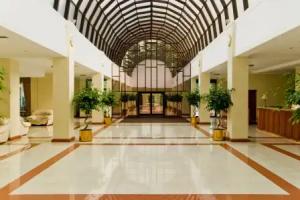
Hotels
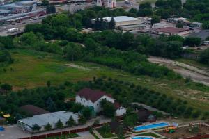 Fruktovyy Sad Hotel
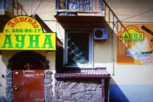 Regina Hotel
 Bazovyy Respublikanskiy detskiy sotsialno-reabilitatsionnyy tsentr Raduga Hotel
 Tau Hotel
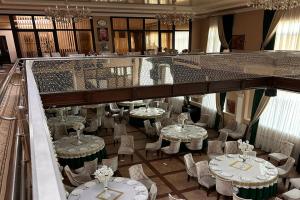 High ratingGostinichno-restorannyy kompleks Kurtimas Hotel
 from 10 USDOoo Ekstrimtur Resort
Hostels
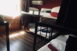 Draiv Hostel
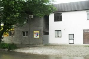 Hostel Teplichny
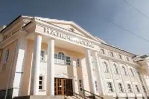 High ratingfrom 13 USDNalchikskiy Hostel
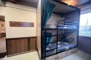 from 13 USDTobasco Hostel