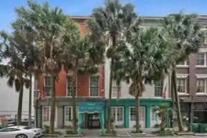
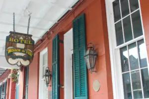
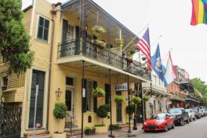
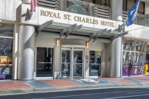
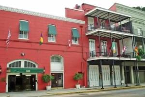
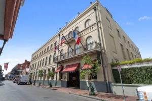
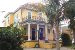
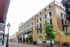
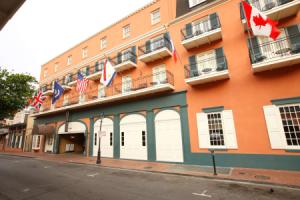
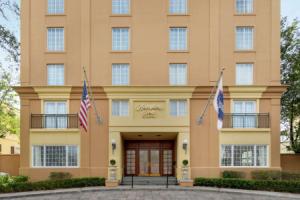
New Orleans
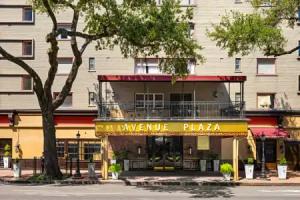
Street view
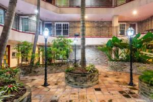
All accomodation types
2 guests
Search hotel
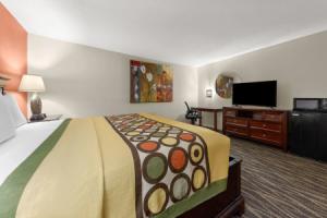
Hotels


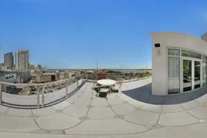
Hotels with pool


3 star hotels


4 star hotels


5 star hotels


Reviews
Share your experiences, help others make the right choice!
Think about what you would like to know if you were looking for a review about a place to relax. Please describe in detail what you liked and what you didn't. What would you advise to other guests and to the hotel owner. The more fully you tell about the hotel, the easier it will be for other people to make a choice and they will be very grateful to you!
Map
Tourist attractions
Martin Luther King Jr. Memorial (10 min)
A monument commemorating the civil rights leader Martin Luther King Jr.
Equality Dignity Freedom Civil Rights monument (12 min)
Monument featuring inscriptions honoring civil rights leaders in New Orleans.
Louis Armstrong (15 min)
Monument honoring jazz legend Louis Armstrong in New Orleans.
Women Armed Forces (1 km)
Monument commemorating the contributions of women in the armed forces.
Museum of the Southern Jewish Experience (1.1 km)
This museum explores the history and culture of Jewish communities in the American South.
Immaculate Conception Catholic Church (1.1 km)
Immaculate Conception Catholic Church is a Roman Catholic place of worship with historical importance in New Orleans.
Clay Monument (1.2 km)
A historic monument dedicated to Henry Clay, significant in American political history.
Vietnam War Monument (1.3 km)
Monument commemorating the Vietnam War located in New Orleans.
Ogden Museum of Southern Art (1.3 km)
The Ogden Museum of Southern Art features a collection of contemporary and historical Southern art.
Confederate Memorial Hall Museum (1.3 km)
The Confederate Memorial Hall Museum showcases artifacts related to the Confederate States of America during the Civil War.