Tavush Province
Description
Tavush ), is a province of Armenia. It is located at the northeast of Armenia and bordered by Georgia from the north and Azerbaijan from the east. It is domestically bordered by the Gegharkunik Province from the south, Kotayk Province from the southwest and Lori Province from west. The capital and largest city of the province is the town of Ijevan.
Etymology
Part of a series onArmeniaՀայաստան Culture
- Art
- Cinema
- Music
- Media
- Sport
- Vardavar
- Aragatsotn
- Ararat
- Armavir
- Gegharkunik
- Kotayk
- Lori
- Shirak
- Syunik
- Tavush
- Vayots Dzor
- Yerevan (city with special status)
- v
- t
- e
The name of the province is derived form Tavush; a variant of the original name of Tuchkatak canton of the historic Utik province of Ancient Armenia. It first appeared during the 9th century as the name of the 9th-century Bagratid fortress near modern-day Berd.
After the invasion of Turkic tribes during the 11th century, the name of Tavush was Turkified as Tovuz.
Geography
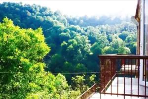
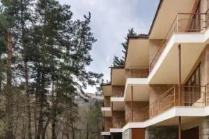
The Lesser CaucasusTavush has an area of 2,704 km² (9% of total area of Armenia). It occupies the northeastern part of the Republic of Armenia. It is bordered by Georgia from the north and Azerbaijan from the east. Domestically, it is bordered by the Gegharkunik Province from the south, Kotayk Province from the southwest and Lori Province from west. The territory is mainly mountainous and rocky hillsides covered with a green carpet of Alpine meadows. Tavush is sometimes referred to as a little Armenian Switzerland. The average height of the region is around 900 meters above sea level.
Based on the historical divisions of Ancient Armenia, the current territory of the province occupies parts of the Varazhnunik canton of Ayrarat province, the Dzorapor and Koghbapor cantons of Gugark province, and the Aghve and Tuchkatak (Tavush) cantons of Utik province.
Lake GoshThe province entirely lies among the mountains of the Lesser Caucasus. It is surrounded by the Miapor mountains from the east, the Somkheti mountains from the north, the Gugark mountains from the east and the Kenats mountains from the south. The highets point of Tavush is the Miapor peak with a height of 2993 meteres, while the lowest point is located at a height of 380 meters in the Debed river valley near the village of Debedavan.
The province is a major source of water in Armenia. The main source is Aghstev river with its tributaries Getik, Voskepar and Sarnajur. Minor rivers include Akhum, Tavush and Khndzorut.
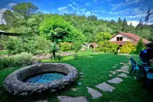
Tavush is also rich for its mountain springs, mineral water and small lakes such as the Lake Parz and Lake Gosh.
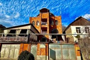
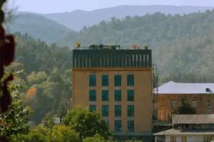
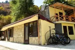
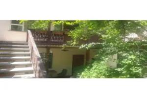
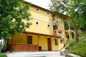
Most of the Tavush territory is covered with thick forests, mainly around the towns of Dilijan, Ijevan and Berd. The province has a number of protected forests including the Dilijan National Park, Akhnabad Taxus Grove Sanctuary, Arjatkhelni Hazel Sanctuary, Gandzakar Sanctuary, Ijevan Sanctuary and Zikatar Sanctuary.
Kenats mountains at the south of TavushHistory
The territories of present-day Lori and Tavush along with the neighboring Georgia, became part of the Russian Empire in 1800-01. The territories became an official region of Russia as per the Treaty of Gulistan signed between Imperial Russia and Qajar Persia in October 1813, following the Russo-Persian War of 1804–13. In 1840, the Yelizavetpolsky Uyezd was formed and most of the territories of Tavush became part of the newly founded administrative division of the Russian Empire. Later in 1868, the Elisabethpol Governorate was established and Tavush became part of the newly formed Kazakhsky Uyezd of the governorate.
From 1930 until 1995, modern-day Tavush was divided into 3 raions within the Armenian SSR: Ijevan raion, Noyemberyan raion, and Shamshadin raion. With the territorial administration reform of 1995, the 3 raions were merged to form the Tavush Province.
Culture
Fortresses and archaeological sites
- Tavush Fortress of the 10th century,
- Berdavan Fortress of the 10th century,
- Tevrakar castle, 5th-7th centuries BCE
- Aghjkaberd Fortress,
- Sranots Bridge, 13th-14th centuries.
Churches and monasteries
- Tsrviz Chapel of the 5th century,
- Holy Mother of God Church of Voskepar of the 7th-century,
- Kirants Monastery of the 8th century,
- Makaravank monastery of the 10th century,
- Jukhtak Vank monastery of the 11th-12th centuries,
- Goshavank monastery of the 12th century,
- Aghavnavank Monastery of the 12th-13th centuries,
- Samsonavank Monastery of the 12th-13th centuries,
- Shkhmurad Monastery of the 12th-13th centuries,
- Matosavank monastery of 1247,
- Arakelots Monastery of Kirants of the 13th century,
- Haghartsin Monastery of the 13th century,
- Nor Varagavank monastery of the 13th century,
- Khoranashat Monastery of the 13th century,
- Srvegh Monastery of the 13th century.