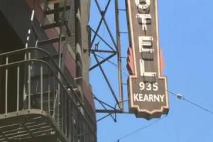
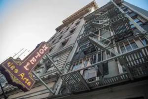
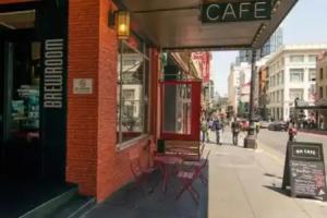
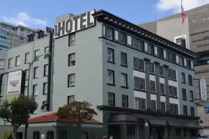
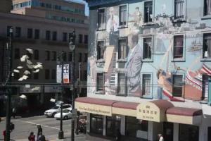
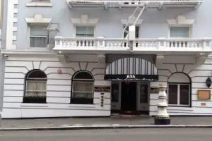
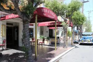
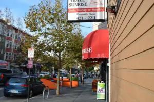
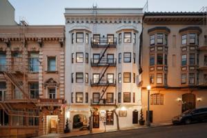
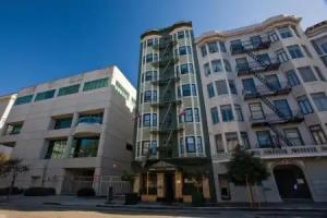
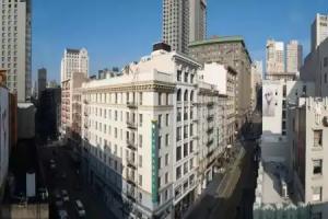
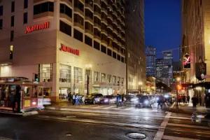
San Francisco
Street view
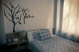
All accomodation types
2 guests
Search hotel
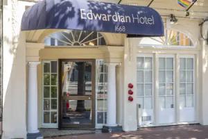
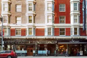
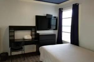
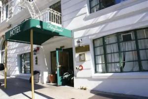
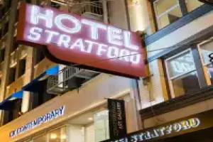
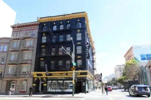
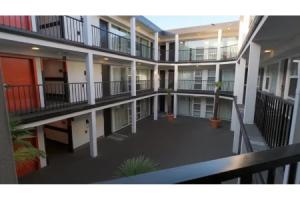
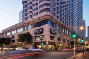
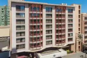
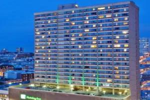
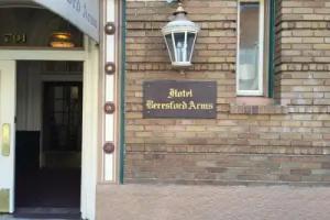
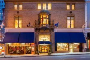
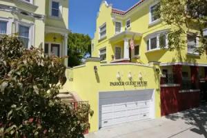
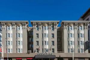
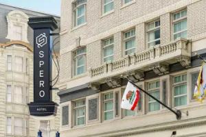
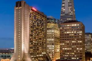
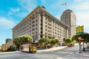
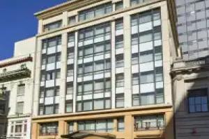
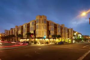
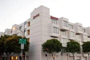
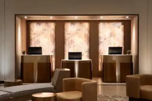
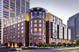
Hotels


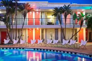
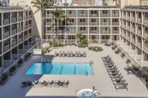
Hotels with pool


3 star hotels


4 star hotels


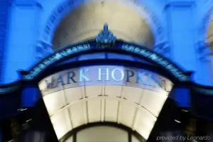

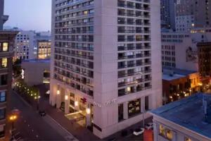
5 star hotels

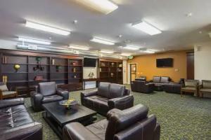
Reviews
Share your experiences, help others make the right choice!
Think about what you would like to know if you were looking for a review about a place to relax. Please describe in detail what you liked and what you didn't. What would you advise to other guests and to the hotel owner. The more fully you tell about the hotel, the easier it will be for other people to make a choice and they will be very grateful to you!
Map
Tourist attractions
Abraham Lincoln (7 min)
Memorial dedicated to Abraham Lincoln, the 16th President of the United States.
Portrait of a Phenomenal Woman (8 min)
Metal monument unveiled in 2024 celebrating the legacy of Dr. Maya Angelou.
Matthew Hall McAllister (9 min)
Bronze memorial honoring Matthew Hall McAllister, leader of the California bar and advocate.
Ashurbanipal (9 min)
Memorial dedicated to Ashurbanipal, ancient Assyrian king known for his library.
California Volunteers Memorial (14 min)
Monument honoring California volunteers who served in military conflicts.
International Art Museum of America (1 km)
Museum showcasing diverse international contemporary art collections in San Francisco.
Tenderloin Museum (1.1 km)
Explores the history and culture of San Francisco's Tenderloin neighborhood through exhibits and stories.
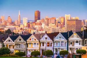
Painted Ladies (1.2 km)
The Painted Ladies are a row of colorful Victorian houses famous for their architectural detail and city views.
Saint Matthews Lutheran Church (1.3 km)
Saint Matthews Lutheran Church serves as a place of worship and community gathering in San Francisco.
Glide Memorial United Methodist Church (1.3 km)
Glide Memorial United Methodist Church is known for its social justice outreach and community programs.