Argostoli
Street view
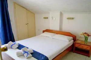
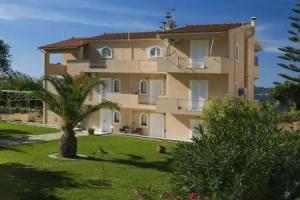
All accomodation types
2 guests
Search hotel
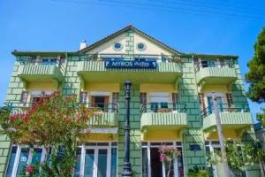
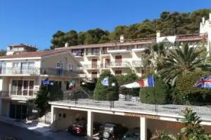
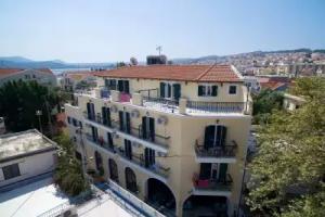
Hotels


Hotels with sea view
Hotels with pool
Best Hotels
Hotels with sauna
Apartment Hotels
Spa-Hotels
4 star hotels
3 star hotels
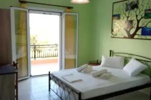
Hotels with kitchen in room
Reviews
Share your experiences, help others make the right choice!
Think about what you would like to know if you were looking for a review about a place to relax. Please describe in detail what you liked and what you didn't. What would you advise to other guests and to the hotel owner. The more fully you tell about the hotel, the easier it will be for other people to make a choice and they will be very grateful to you!
Map
Tourist attractions
Kosmetatos' House (3 min)
Radical's Memorial (5 min)
Archaeological Museum of Argostoli (6 min)
I Love Kefalonia (6 min)
Bust of Sir Charles Napier (6 min)
St Spyridon (7 min)
Korgialeneio Historic and Folklore Museum of Argostoli (8 min)
Argostoli Marina (9 min)
Μητρόπολη Αργοστολίου (11 min)
Bell Tower (12 min)