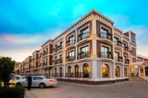
Izmir
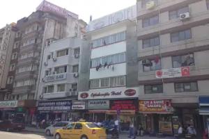
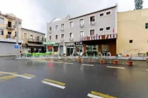
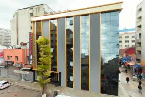
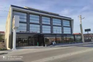
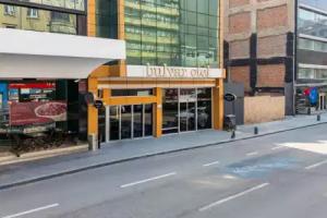
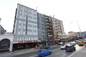
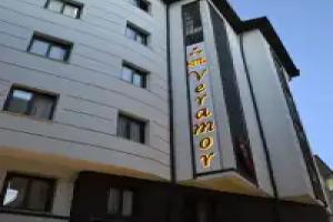
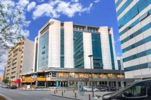
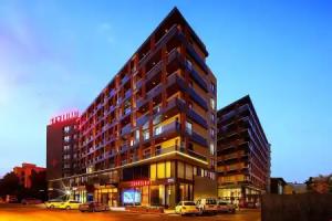
Street view
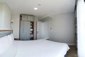
All accomodation types
2 guests
Search hotel
Hotels


Hotels on first line


Hotels near sea shore


Hotels with sea view


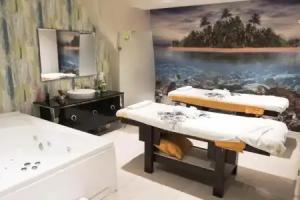
Spa-Hotels


Hotels with pool
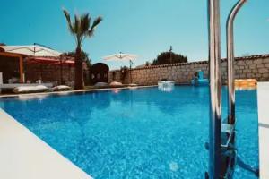


Hotels with pool on first line
Hotels with heated pool
Best Hotels


BnB Hotels


Reviews
Share your experiences, help others make the right choice!
Think about what you would like to know if you were looking for a review about a place to relax. Please describe in detail what you liked and what you didn't. What would you advise to other guests and to the hotel owner. The more fully you tell about the hotel, the easier it will be for other people to make a choice and they will be very grateful to you!
Map
Tourist attractions
İzmir Painting and Sculpture Museum (4 min)
Museum dedicated to Turkish painting and sculpture exhibitions. Operating hours 09:00–21:00 daily.
İzmir Museum of History and Art (5 min)
Museum housed in historic Cultural Factory building showcasing Izmir's archaeological finds and contemporary art. Open daily 09:00–21:00.
Hayat Çemberi (11 min)
Public memorial sculpture in Izmir's cultural district.
Mask Museum (11 min)
Free museum displaying masks from various cultures and theatrical traditions. Collection includes traditional and contemporary pieces.
Paraşüt Kulesi (12 min)
Historic parachute tower offering panoramic views of Izmir Bay and harbor. Built in the 1950s for parachute training.
Atatürk Museum (13 min)
Museum housing personal artifacts and historical documents of Mustafa Kemal Atatürk, founder of modern Turkey.
Republic Tree (14 min)
Memorial commemorating the Turkish Republic with bronze and marble sculpture. Erected in 2003 at Alsancak waterfront.
Arkas Art Center (1.1 km)
Contemporary art gallery featuring Turkish and international exhibitions; open Tuesday-Sunday 10am-6pm.
Tarihi Bıçakçı Han (1.3 km)
Historic han (caravanserai) converted into museum showcasing traditional knife-making crafts.
Journalists Association Press Museum (1.4 km)
Museum exploring Turkish journalism history and press evolution through exhibits and archives.