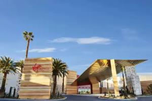
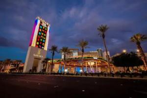
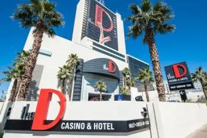
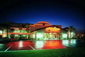
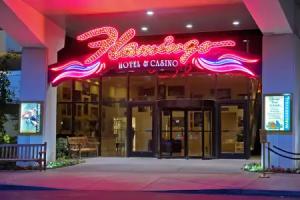
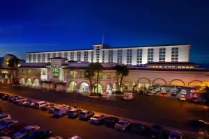
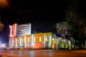
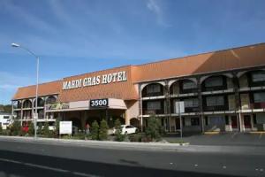
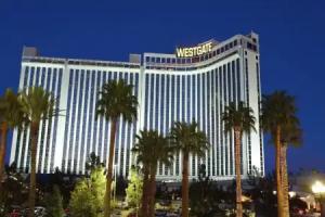
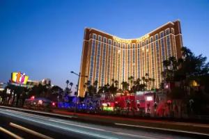
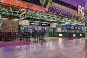
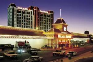
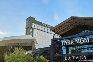
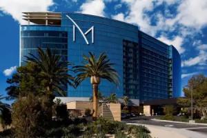
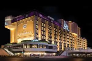
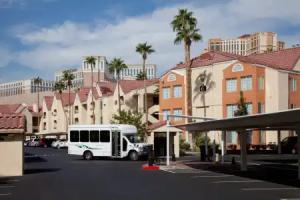
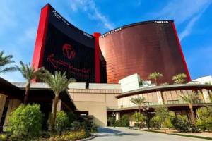
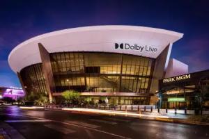
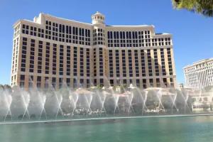
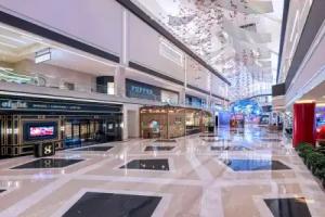
Las Vegas
Street view
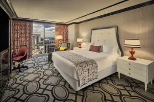
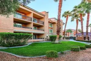
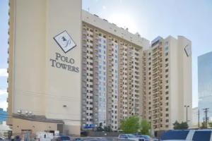
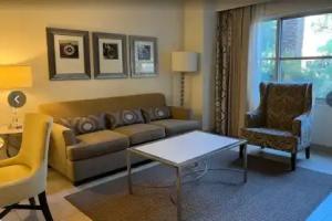
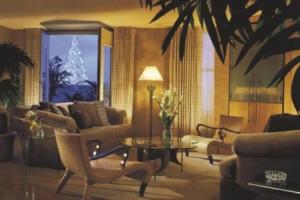
All accomodation types
2 guests
Search hotel
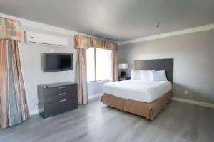
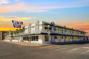
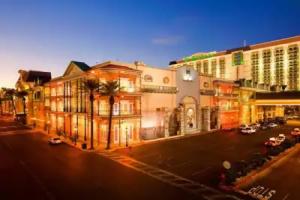
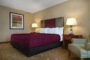
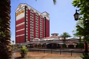
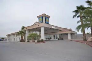
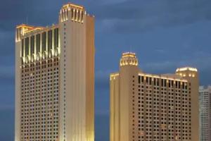
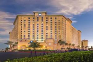
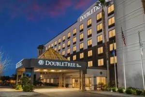
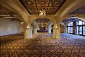
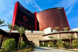
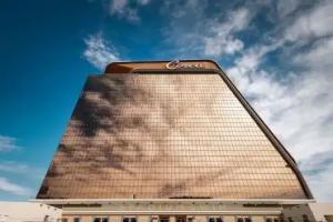
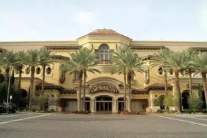
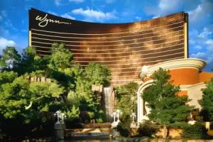
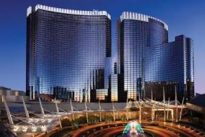
Hotels


Spa-Hotels


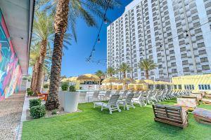
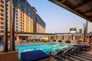
Hotels with pool
3 star hotels
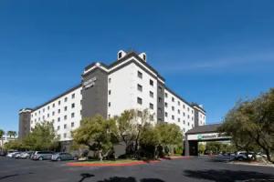
4 star hotels


5 star hotels


Reviews
#VegasStrong. If you’ve never been to Vegas, you either love it or hate it. #IbelieveinLasVegas
Share your experiences, help others make the right choice!
Think about what you would like to know if you were looking for a review about a place to relax. Please describe in detail what you liked and what you didn't. What would you advise to other guests and to the hotel owner. The more fully you tell about the hotel, the easier it will be for other people to make a choice and they will be very grateful to you!
Map
Tourist attractions
Axehole Vegas (9 min)
Axehole Vegas offers axe throwing entertainment open daily from 10:00 to midnight.
Tickets: Grand Canyon West: VIP Tour from Las Vegas + Hoover Dam Stop + Optional Skywalk, 144 EUR View
Hewetson Playground (1.3 km)
Hewetson Playground offers green areas and play equipment for local residents.
Fitzgeralds Tot Lot (1.7 km)
Fitzgeralds Tot Lot is a small park featuring play equipment designed for young children.
Madison Playground (1.8 km)
Madison Playground features recreational facilities for children and community activities.
Bracken Playground (2.3 km)
Bracken Playground provides outdoor space for sports and children's activities.
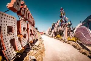
GYPSY DEN VINTAGE (2.5 km)
GYPSY DEN VINTAGE is a historic monument preserving vintage cultural elements.
Hadland Pool (2.5 km)
Hadland Pool offers a community swimming spot with recreational facilities in Las Vegas.
Swm n Pool (2.7 km)
Swm n Pool is a historic site recognized as a monument in the area.
Classic Vdubs (2.7 km)
Classic Vdubs is a historic monument commemorating vintage Volkswagen vehicles.
Salon De Belleza (2.9 km)
Salon De Belleza is a beauty salon attraction offering various hair and beauty services.