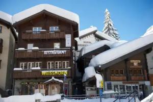
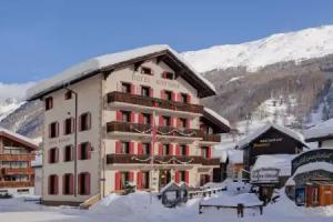
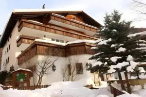
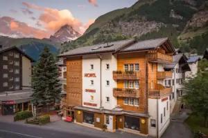
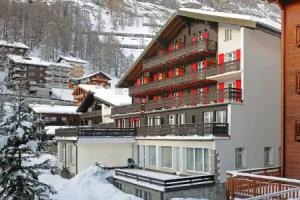
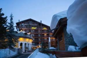
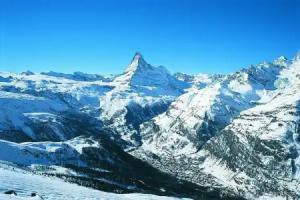
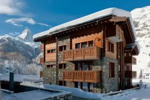
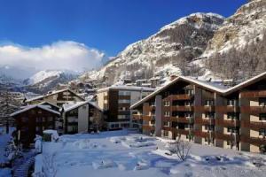
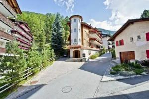
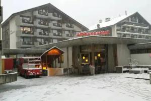
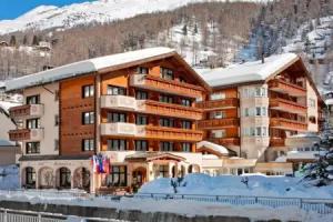
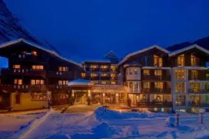
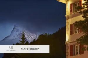
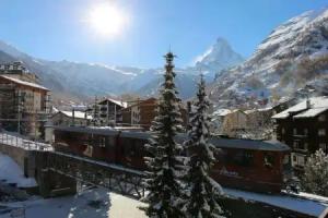
Zermatt
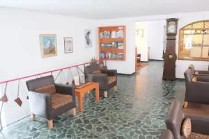
Street view
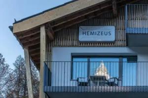
All accomodation types
2 guests
Search hotel
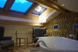
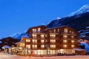
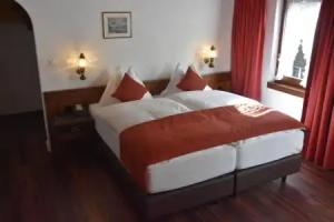
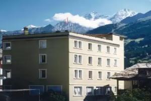
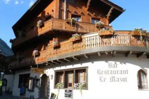
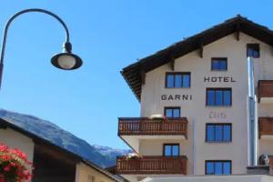
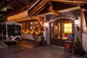
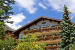
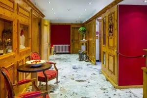
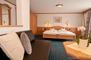
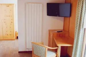
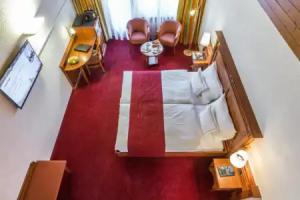
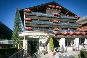
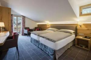
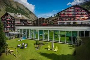
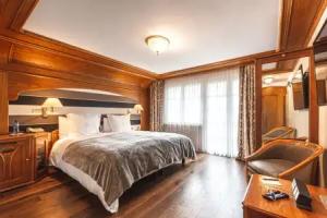
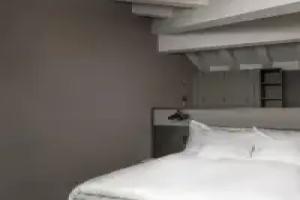
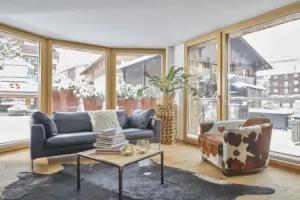
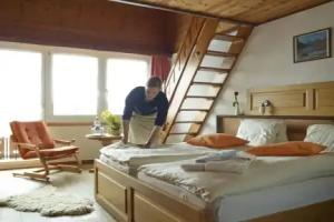
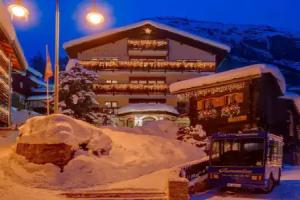
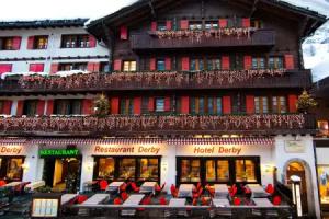
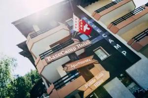
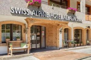
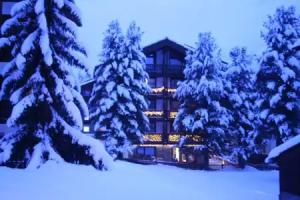
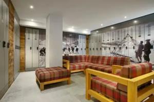
Hotels


Spa-Hotels


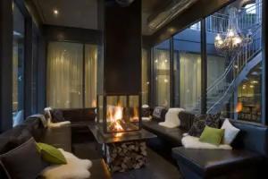

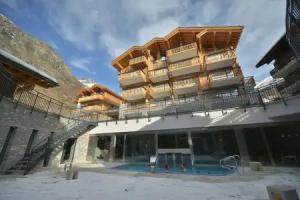
Hotels with pool

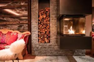


Best Hotels


3 star hotels


4 star hotels


5 star hotels

Where to stay with pets
Reviews
Share your experiences, help others make the right choice!
Think about what you would like to know if you were looking for a review about a place to relax. Please describe in detail what you liked and what you didn't. What would you advise to other guests and to the hotel owner. The more fully you tell about the hotel, the easier it will be for other people to make a choice and they will be very grateful to you!
Map
Tourist attractions
Matterhorn Museum (4 min)
Matterhorn Museum exhibits Zermatt’s cultural history and mountaineering heritage, open daily with an entrance fee.
Entrance Gorner (1.5 km)
Entrance Gorner is an attraction open daily from 09:15 to 17:45, providing access to nearby points of interest.
Ruin (5 km)
This site features historic ruins, reflecting past structures without detailed historical records.
Golden Spot (5 km)
Golden Spot is an open-access attraction operated by Gornergrat Bahn, open daily from 08:00 to 17:00.
Gornergrat (5 km)
Gornergrat is a mountain viewpoint in the Swiss Alps, accessible by railway, known for panoramic views of surrounding peaks.
Bétemps Hut (9 km)
The Bétemps Hut ruins date back to 1895, offering a glimpse into historic alpine shelter architecture.