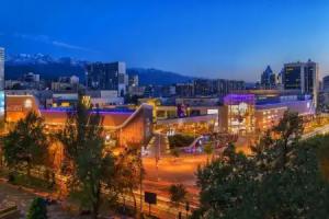
Almaty
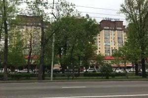
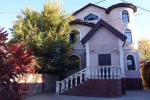
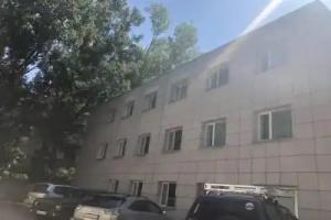
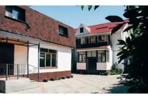
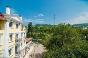
Street view
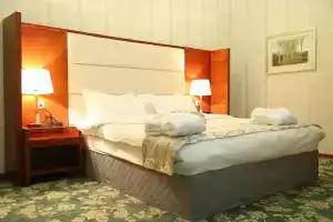
All accomodation types
2 guests
Search hotel
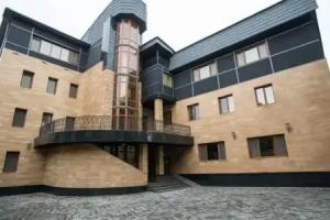
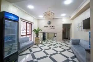
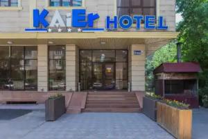
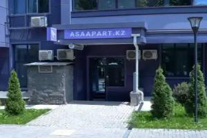
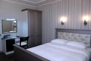
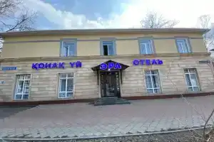
Hotels


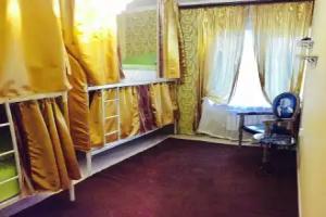
Hostels


Spa-Hotels


Best Hotels


Hotels with pool


BnB Hotels
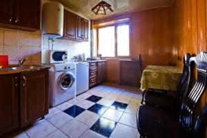


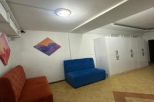
Private accomodation


Hotels with heated pool


Ski hotels


Hotels with sauna


Reviews
Share your experiences, help others make the right choice!
Think about what you would like to know if you were looking for a review about a place to relax. Please describe in detail what you liked and what you didn't. What would you advise to other guests and to the hotel owner. The more fully you tell about the hotel, the easier it will be for other people to make a choice and they will be very grateful to you!
Map
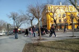
Tourist attractions
Ustazym Monument (6 min)
Public monument in Almaty with cultural or historical significance to local community.
Abu Ali ibn Sina Monument (6 min)
Monument honoring the renowned Persian physician and philosopher known for contributions to medicine and science.
Sapozhnikova House (6 min)
19th-century mansion designed by architect Stasov in 1811, later renovated by successive architects.
Khalyk Birligy Monument (7 min)
Public monument in central Almaty commemorating national unity and collective identity.
Manshuk Mametova Monument (8 min)
Memorial to Soviet war hero Manshuk Mametova, recognized for bravery during World War II.
Qudays Khojamiarov (9 min)
Monument erected in 2008 honoring Soviet and Kazakh composer and People's Artist.
Akhmet and Gaziza Zhubanovy House Museum (14 min)
Museum in Almaty dedicated to the life and work of Kazakh cultural figures.
Abdykhamit Sembaev Memorial (1 km)
Memorial honoring Abdykhamit Sembaev, significant figure in Kazakh history and culture.
Law (1.2 km)
Monument with legal or civic significance in Almaty.
Aliya Moldagulova and Manshuk Mametova Memorial (1.2 km)
Memorial to two Soviet heroines and resistance fighters who fought against Nazi occupation during WWII.